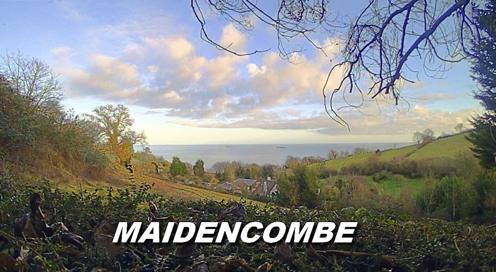
THE SOLOMON'S POST PROJECT
History
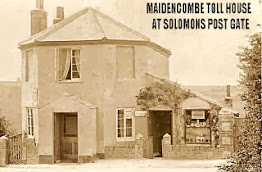
The old black and white wooden sign posts - so evocative of the era - that served the rural hamlet of Maidencombe were replaced by more 'modern' metal road signage in the mid sixties. Notably, a major casualty was the non fingerpost Solomon's Post which stood at the junction of Ridge Road and the main Teignmouth Road. Its status was purely historical - being a record of the importance of the major crossing point which would later serve as the site of the toll house circa 1827 after the turnpike was officially designated.
 |
| Reconstruction of the marker post |
|
In hindsight, the marker should not have been removed but its relevance and importance may not have been appreciated at the time.
The only remaining trace of Solomon's Post is the retained name of the old toll-house, now returned to residential use. The other associated naming was the Solomon's Post Caravan Park in Ridge Road which was dismantled in the nineteen eighties.
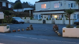
The bus timetable of the era listed Solomons Post as an official picking up and dropping off point and, in those days of less frenetic traffic overload, the #13 Devon General bus would draw up exactly opposite the black and white post on the bend. With the removal of the historical marker, Stagecoach Devon have relisted the stop (now repositioned further back in a purpose built bay) as 'Maidencombe Sladnor Park Road', thus further fading and eroding the historical significance.
The image of the iconic landmark has remained with me for the half century since its removal and I visualize it on the corner every time I pass. I can recall seeing it for the first time in 1960 when, as an eleven year old with a vivid imagination, I really thought that the post was emblematic of King Solomon of Israel! In those days, before the advent of the internet, knowledge, especially the local history variety, was hard to find. Indeed, it has only been fairly recently that I have discovered the origin of the local naming*.
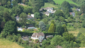
The other evocative symbols of past Maidencombe community life were the three K6 red telephone boxes, that through cell phone technology and lack of use also passed into history. Obviously, they will never return but the Solomon's Post marker is quite another matter, such is its social historical importance. Indeed, the central hub of Maidencombe was at this 'Seven Several Ways' junction and not the sleepy combe, sparsely populated with a few farms and isolated houses.
I have been in contact with a much respected council officer and he also is supportive of the idea of reinstating the marker. He indicated that Torbay council, if approving such a venture, would probably wish to manufacture the sign themselves, however, with such financial constraints right across the table, it is unlikely that funding would be available.
To this end, I have undertaken the task of reproducing the marker myself. If nothing else, the facsimile could be temporarily repositioned at its original location and photographed for posterity.
* See the article SOLOMON’S POST AT MAIDENCOMBE at www.maidencombeunity.org