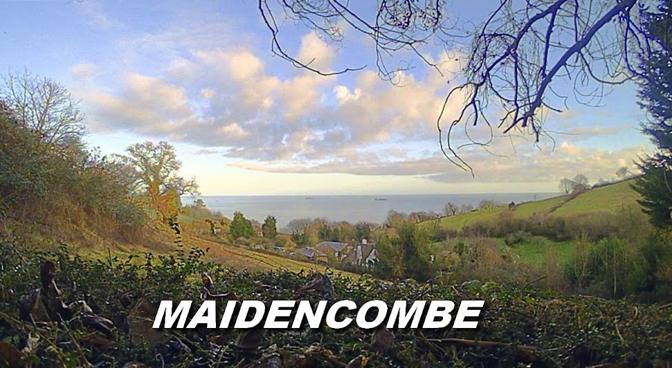


There was a map presentation and talk on Maidencombe given by Jim Campbell last Monday at the St Marychurch Community Partnership meeting held at Westlands School, Plainmoor.
The talk lasted thirty minutes with all three St Marychurch councillors present along with Torbay Council representatives and Susie Colley, the Chair of the Torquay Neighbourhood Forum.
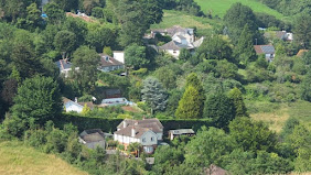
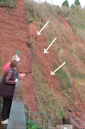
Mr Campbell identified the boundaries, Torbay Coast & Countryside leased fields and the permissive routes that ran through Maidencombe.
Every stile and kissing gate was marked on an A1 sized draft map which the audience could follow on specially printed A4 maps distributed for them to peruse.
It was also revealed that all of the TCCT's fields had names and nicknames (rather than the Council's numbered & lettered versions) dating back many years. A few were mentioned such as Tipley Finch (Tiddly Pinch), Gypsy, Lyme's Weep, Bluebell and Cade's.
It was established that the southern entrance to Maidencombe was at the 'Perch' a seat and viewpoint at the summit of the Goats Path from the Valley of the Rocks.
There were a number of questions posed at the end of the presentation.
Subscribe to:
Post Comments (Atom)


2 comments:
This sounds really interesting. Are you planning to give to talk in Maidencombe some time? And what's happening with the map? Are you able to publish it here?
Thanks for your comments and interest Stez. I was asked to give a map presentation by the St Marychurch CP committee. There may be a talk on Maidencombe and the map on competion, Ill post any information here as it comes available.
Post a Comment